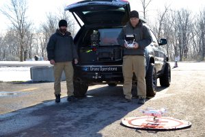
Aerial Solutions
Pathfinder Solutions and our partners, Air Reel Technologies and Heitman Internationals' project experience ranges from Law Enforcement operational support, search and rescue, aerial mapping and geospatial surveying, to critical infrastructure security. We provide complete solutions beginning with identifying appropriate drone platforms, and sensors to meet our customer’s needs.
Pathfinder Solutions teams and our sUAS partners have operated on multiple drone platforms to support our customers. With our partnerships with leading drone providers and software developers, Pathfinder Solutions is positioned to provide the best solutions to our clients.
- Unmanned Aerial Surveillance Platforms

- Site Planning, Site Surveys
- Data Integration
- Facility Mapping
- LiDAR and Photogrammetry
- Remote Route Reconnaissance
- Secure Live Streaming to any device
- 3D Modeling

